Precision Drone Mapping & Crop Intelligence That Moves Your Operation Forward
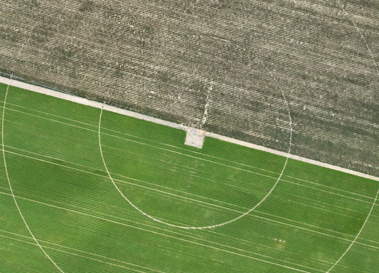
Aerial Mapping
High‑accuracy orthomosaics and elevation models for confident planning.
Crop Analysis
Multispectral insights that reveal stress, variability, and yield opportunities.
Demo Flights
See our technology in action before you commit.
Stay Informed
Get insights on crop health and yield.